The White City
Drive north from Quito through the Avenue of the Volcanoes and, after about two hours, the landscape opens into a wide, fertile valley ringed by mountains. At its center sits Ibarra, officially San Miguel de Ibarra, a city of roughly 200,000 that Ecuadorians call La Ciudad Blanca, the White City.
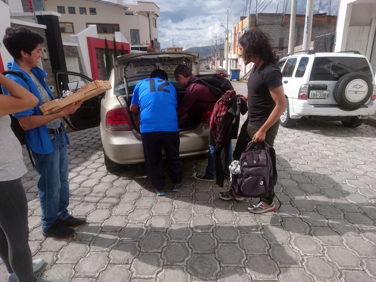
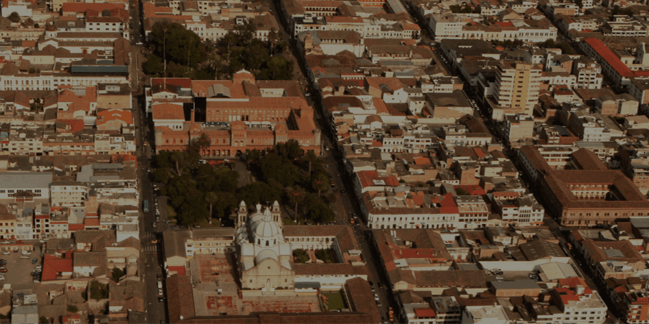
The nickname comes from the whitewashed colonial buildings that line its central streets. After a devastating earthquake destroyed much of the city in 1868, Ibarra was rebuilt with a uniform architectural character: white stucco walls, terracotta tile roofs, wooden balconies, and a clean, orderly grid centered on several connected plazas.
A City That Rebuilt Itself
Hear a stop from this walk
Santo Domingo: The Gothic Comeback
The 1868 earthquake is the defining event in Ibarra's history. It struck in the small hours of 16 August on the Otavalo fault, estimated at about magnitude 7.0 to 7.3, and leveled the colonial city; Gabriel García Moreno, sent to run the relief, reported fifteen to twenty thousand dead in the province. For about four years the survivors lived on the plain of Santa María de la Esperanza, and on 28 April 1872 they came back, a day the city still marks as El Retorno.
Gabriel Garcia Moreno, by then Ecuador's president, had the new town laid out on a grid from one corner, the Esquina del Coco, with streets thirteen metres wide. The rebuilding took most of a century: the cathedral was consecrated in 1878, Santo Domingo in 1923, and La Merced was finished around 1965. The churches show fronts of grey dressed stone with white towers and side walls, and the houses around them are rendered white. Unlike cities that accumulated their character over centuries, Ibarra got a fresh start on one plan, and it shows in the unusual harmony of its streetscapes. Our White City walk follows that comeback in ten stops.
The Setting
Ibarra sits at 2,225 meters, lower and warmer than Quito, with a mild, springlike climate year round. The Imbabura volcano (4,630 meters) dominates the eastern skyline, its summit often wreathed in clouds. On clear days, you can see the snow-capped peak of Cayambe to the south.
The surrounding Imbabura province is one of Ecuador's most culturally rich regions. Indigenous Otavalo and Karanki communities maintain distinct traditions, languages, and dress. The famous Otavalo market, the largest Indigenous market in South America, is just 30 minutes south.
Walking the Center
Ibarra's colonial core is compact and walkable. The main plazas, Parque Pedro Moncayo and Parque La Merced, are separated by a few blocks and connected by pedestrian-friendly streets. The Cathedral, several colonial churches, and the Gobernacion (governor's building) anchor the civic center.
What to Notice
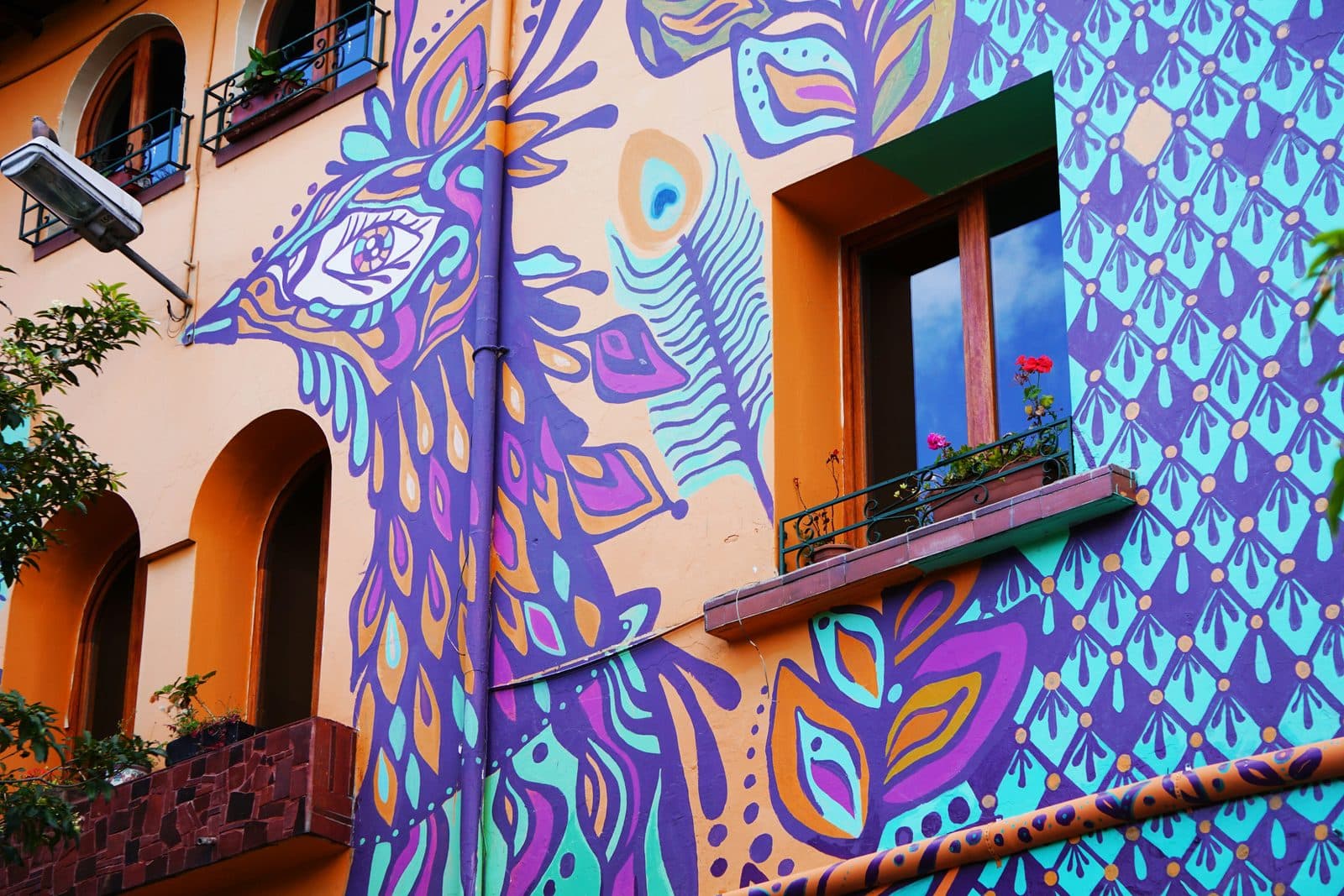
The architecture rewards attention to detail. Look for the carved wooden balconies. Some are enclosed (box balconies in the Andalusian style), others are open railings with turned spindles. Door frames are often painted in contrasting colors, deep blue, forest green, or ochre, that stand out against the white walls.
The streetscape has a consistency that most Latin American cities lack. Because the centre was rebuilt on one new plan, buildings share similar proportions, heights, and materials. The effect is calming, a city that fits together.
Yahuarcocha: The Lake of Blood
Just outside the city, Lago Yahuarcocha occupies a volcanic crater with a grim history. The name translates to "Lake of Blood" in Kichwa, a reference to a battle around the turn of the sixteenth century when the Inca emperor Huayna Capac defeated the local Caranqui people and, according to colonial tradition, ordered the bodies of thousands of warriors thrown into the lake, turning the water red.
Today Yahuarcocha is peaceful, a popular weekend destination for Ibarreños, ringed by a road that hosts auto racing events and lined with small restaurants serving tilapia and fritada (fried pork). The contrast between its violent name and its calm present is pure Ecuador.
Food and Sweets
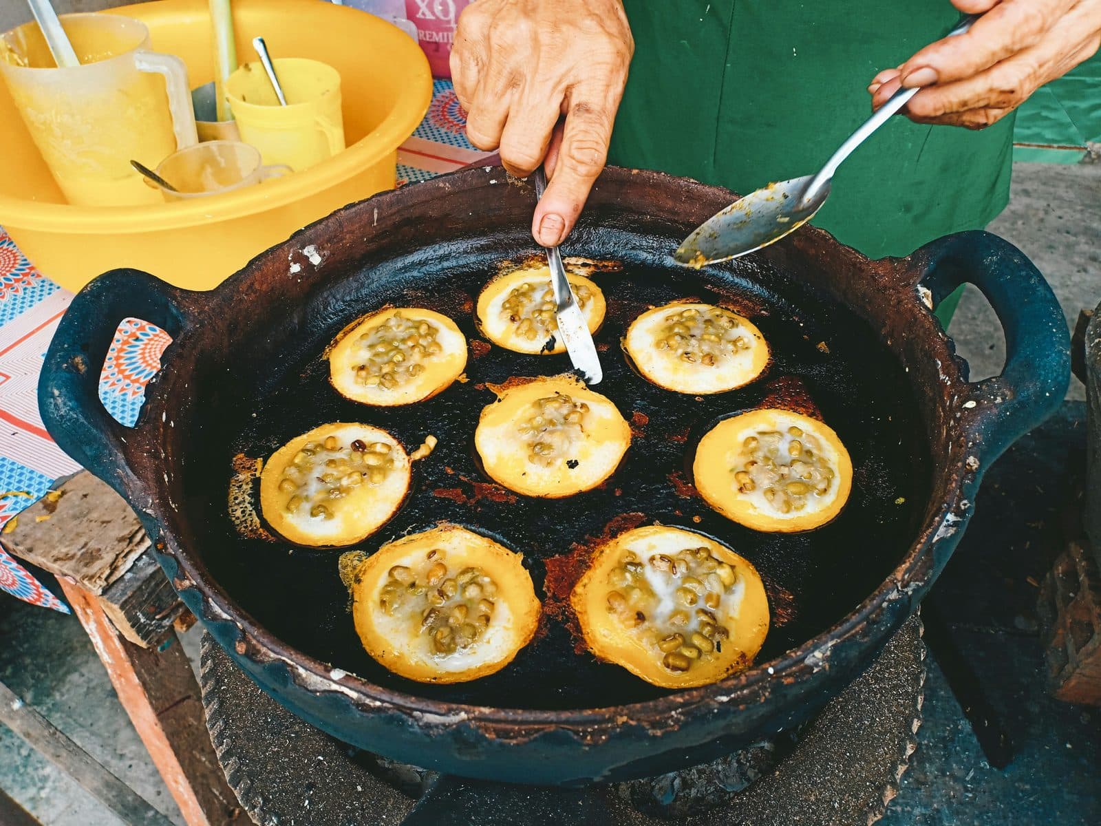
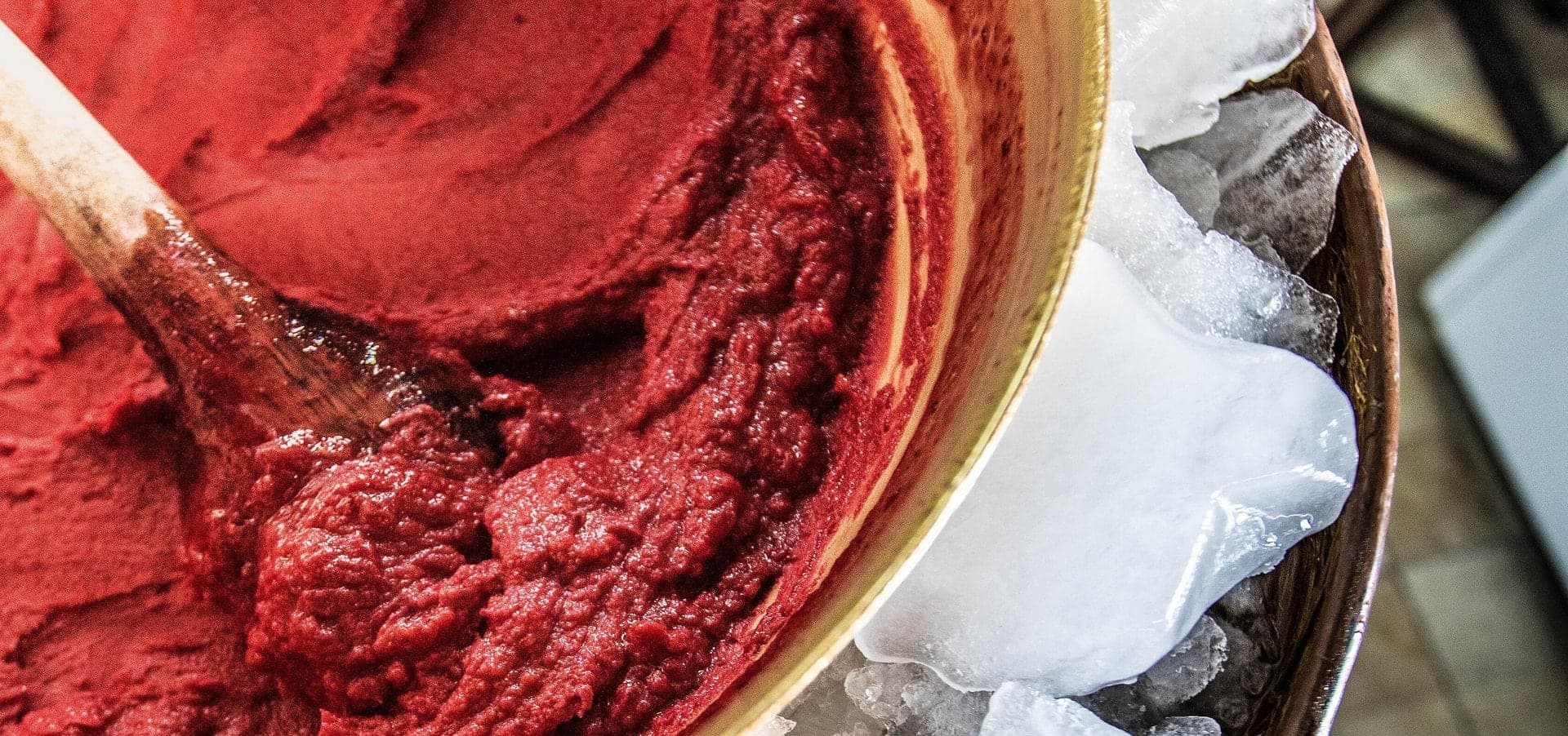
Ibarra has a distinctive culinary identity built around sweets. The city is famous for helados de paila (fruit sorbets churned in a copper basin), arrope de mora (blackberry syrup), and nogadas (nougat candies). Sweet shops line the streets around the central market, and watching a heladero spin sorbet in a copper paila over ice and straw is one of Ibarra's signature experiences.
The savory side holds its own too. The fritada (slow-fried pork) of Imbabura province is considered Ecuador's best, served with mote, tostado (roasted corn), and llapingachos. Markets and roadside stalls serve versions that draw diners from across the northern highlands.
Why Visit
Ibarra doesn't appear on most tourist itineraries, which is part of its appeal. It's a real Ecuadorian highland city, not a resort, not a backpacker hub, not a museum. The markets are for locals, the plazas are where families actually spend their evenings, and the pace is genuinely slow.
For travelers heading north toward Colombia or south from the border, Ibarra is a natural stopping point. For those based in Quito, it's an easy day trip that reveals a different register of Andean life: quieter, sweeter, and painted entirely in white.
Frequently asked questions
- Why is Ibarra called the White City?
- The nickname refers to the white walls of its rebuilt centre, but why the town is white is contested: local explanations range from lime against a plague to a council copying other white cities, and some read the name socially, as a city meant for whites.
- What happened to Ibarra in the 1868 earthquake?
- The earthquake of 16 August 1868, on the Otavalo fault and estimated at about magnitude 7.0 to 7.3, leveled the colonial city; Gabriel García Moreno reported fifteen to twenty thousand dead in the province. Survivors lived for about four years on the plain of Santa María de la Esperanza before returning on 28 April 1872.
- Why is Lago Yahuarcocha called the Lake of Blood?
- The name translates to Lake of Blood in Kichwa, referencing a battle around the turn of the sixteenth century when the Inca emperor Huayna Capac defeated the local Caranqui people and, according to tradition, ordered the bodies of thousands of warriors thrown into the lake.
Ready to experience it?
White City: The Town That Came Back
75 min · 1.8 km · easy
More from Ibarra
Explore more at your own pace.
Ibarra Travel Guide: How Many Days, Getting There, When to Go (2026)
One Day in Ibarra: A Walkable White-City Itinerary (2026)
What to Eat in Ibarra: A Food Guide (2026)
Paila, Nogadas and Arrope: The Sweet Side of Ibarra's White City Walk
Rosalía Suárez and the Copper Bowl: How Paila Helado Became a Business