The thing to know about the Emerald Necklace is that it was, originally, drainage infrastructure.
When the Boston Park Commission hired Frederick Law Olmsted in 1878, they did not ask him to design a park. They asked him to fix a smell. The new Back Bay neighborhood, then under construction on filled-in tidal flats, had a problem at its western boundary. The Stony Brook and the Muddy River, draining the watershed south of the Charles, emptied into a tidal flat at the foot of the new district. Sewage and storm runoff pooled. The flat smelled. The wealthiest neighborhood Boston had built in fifty years was about to be uninhabitable because of a sanitary failure at its back door.
Olmsted's solution, drafted between 1878 and 1881, was a tidal saltwater marsh that would flush twice daily with the tides of the Charles. The brackish water would carry sewage and storm runoff out to the harbor. Salt-tolerant reeds would absorb the nutrients. Bridges and footpaths would let the public read the marsh as urban park land. The hydraulic function and the landscape function would be the same design.
This is what people miss about the Back Bay Fens. It is not, and was never, a beautiful natural marsh that Olmsted enhanced. It is an engineered sanitary system that Olmsted made beautiful enough to be readable as a park. The reeds are doing work. The meander of the channel is hydraulic geometry. The bridges are placed where the tidal flush patterns allowed pedestrian crossing.
The Fens was the first link of what would become the Emerald Necklace. The others followed: Olmsted Park, Jamaica Pond, the Arnold Arboretum, Franklin Park, all designed across the 1880s and 1890s, all connected by parkways Olmsted laid out as continuous green corridors. Add the three older parks the system absorbed at its eastern end (Boston Common from 1634, the Public Garden from the 1820s-1860s, the Commonwealth Avenue Mall, created from 1858), and the Conservancy's canonical count is nine. The parks Olmsted personally designed are roughly the western five. Eleven hundred acres. About seven miles end to end on foot.
That park system is the work most people do not associate with him.
Why Central Park is what gets remembered
Central Park was first. Olmsted and Calvert Vaux won the design competition in April 1858; construction in Manhattan ran through roughly 1873. By 1878, when the Boston Park Commission came calling, Central Park had been operating for fifteen years and was the most famous urban park in the world. The 1858 Greensward Plan became the template for the field.
Structurally, Central Park is one very large park inside a rectangle in the middle of Manhattan. Olmsted and Vaux drained the swamps, displaced the people already living on the site (including Seneca Village, a largely African American community of property owners, long misdescribed as squatters, whose story the park has only recently begun to tell), graded the topography, dug the lakes, planted the trees, and built the four transverse roads. It was a single composition.
It worked. It is still working. Central Park is what most Americans picture when they think of urban park design.
But it is one park. It does not connect to other parks. It does not flush sewage. It does not anchor a neighborhood. It is a designed gem in a rectangle bordered on all four sides by the Manhattan grid. The rectangle could not be extended. Olmsted, looking back later, was clear about the limitation. He had wanted to do more.
In Boston, the rectangle was the wrong question. The site was not a single bounded piece of land. It was a watershed.
What Boston let him do that Manhattan did not
Hear a stop from this walk
Boston Public Library: Free to All
Olmsted accepted the Fens commission with the recognition that the problem was at watershed scale. The Stony Brook drainage, the Muddy River drainage, the tidal flat at their confluence, and the connection back to the Charles were one system. He proposed a chain. The Park Commission approved it piece by piece across the 1880s.
The result is the Emerald Necklace. The Riverway, named 1887 and substantially complete by 1895, takes the Muddy River south through an engineered corridor. Olmsted Park north of Jamaica Pond. Jamaica Pond integrated as a centerpiece. The Arnold Arboretum, brought into the system in 1882 under a thousand-year lease between Harvard and the city. Franklin Park, almost five hundred acres, the largest piece.
What unifies the chain is not aesthetic continuity. The parks look different. What unifies them is that they are connected by parkways Olmsted designed as continuous corridors, and that they are a single hydrological, ecological, and recreational system at watershed scale.
This is the move Central Park did not get to make. Central Park is the most famous example of a designed urban park. The Emerald Necklace is the most sophisticated example of a designed urban park system. The American urban park movement that followed, and the parkway concept that would shape American suburban planning through the 1950s, came out of the Necklace.
The honest claim is not that the Necklace is better. It is that the design problem was harder and Olmsted's solution is the work less often credited to him.
What the ground itself was doing
The site Olmsted was working on did not yet exist.
The Back Bay was a tidal flat in 1857. The Massachusetts state government had authorized its filling in 1856 under a compact between the state, the Boston Water Power Company, and the Boston and Providence Railroad. The fill operation ran continuously for twenty-five years, finishing in 1882. Gravel and earth came by train from Needham. At the peak, the Friends of the Public Garden note, the gravel trains arrived every forty-five minutes, and two new house lots were created each day. By the time the operation finished, roughly five hundred and eighty acres of new land had been added to Boston.
When Olmsted accepted the Fens commission in 1878, the fill was four years from completion. He was designing on ground that was still being made underneath him. The tidal marsh he proposed would absorb the runoff from a neighborhood that had not yet been fully populated, on land that had not yet been fully solidified.
Who would live on the new ground was settled in the land titles. The deed restrictions were not the explicit racial covenants of the early twentieth century. They were architectural and price-based: setbacks from the street, minimum heights, and masonry rather than wood. The aesthetic uniformity that makes Back Bay one of the most photographed neighborhoods in Boston was produced by a regulatory system that only buyers able to build to the specification could meet. The people who made the ground were not, for the most part, the people who got the houses.
This is the second thing Olmsted's park system was doing alongside the drainage. It was anchoring an exclusive neighborhood. The mansions on Commonwealth and Marlborough needed a western boundary that was not a smell. Olmsted gave them one. The Fens stops the smell. It also stops the neighborhood.
Cynthia Zaitzevsky's 1982 Frederick Law Olmsted and the Boston Park System is the source most rigorous about both the engineering achievement and the social context. The park system is one of the great works of American landscape design. It is also embedded in a real-estate operation that produced one of the most economically exclusive neighborhoods in nineteenth-century Boston. Both are true.
Forty-five hundred wooden piles
The other thing the ground was doing was sinking.
Back Bay fill is, geologically, gravel and earth roughly thirty feet thick on top of marine clay on top of glacial till on top of bedrock. The marine clay compresses under load. A stone building placed directly on fill would settle and crack. The only way to put a substantial masonry building on Back Bay fill was to drive wooden piles down through the fill and the clay into the bearing layer below, cap them, and build the building on the platform.
Trinity Church on Copley Square is the textbook example. Henry Hobson Richardson designed it; construction ran 1872 to 1877. The church rests on about four thousand five hundred wooden piles, each about thirty-five feet long, according to a 2003 Boston Globe report. The structural condition the church has carried for a hundred and fifty years is that the piles must stay constantly wet. If the water table drops and they dry out, they will rot. The church's foundation is a forest of submerged timber, and its continued existence depends on the foundation staying underwater. When groundwater drops, the Globe reported, church staff simply run garden hoses into the monitoring wells.
Every major Back Bay building does some version of this. The BPL McKim Building, opened in 1895, stands on made land too; the library notes that its 1972 neighbor needed a special foundation atop the landfill, like the McKim building before it. Most of the brownstone row houses on Commonwealth, Marlborough, and Beacon are on piles. The neighborhood's stability depends on the water table, which has been dropping slowly over the past century as the city's sewer infrastructure has been updated. There are documented cases of Back Bay buildings settling in the late twentieth century because their piles had been exposed to air.
This is the third thing Olmsted's system was doing, unintentionally. The Fens and the connected park corridor along the Muddy River are part of the water-management system that keeps the Back Bay water table stable. The system was designed for tidal flushing, was converted in 1910 to a freshwater lagoon by the Charles River Dam, and has been incidentally serving as part of Back Bay's pile-protection infrastructure ever since. The park is doing the work. It is also pretty enough to be photographed.
The layered Fens
One more piece. The Fens you walk through today is not, in fact, Olmsted's design.
His 1881 design was a tidal saltwater marsh. The Charles River Dam, completed in 1910, stopped the tides. The Fens became a freshwater lagoon. The salt-tolerant reeds no longer worked. The hydraulic flushing no longer happened. The marsh was now a stagnant freshwater body that needed a different vocabulary.
Between the wars the Fens took on a new layer. The Kelleher Rose Garden and the athletic fields use, in the Emerald Necklace Conservancy's words, the more formal landscape style popular in the 1920s and 1930s. Geometric beds. Hedge borders. A vocabulary entirely unlike Olmsted's naturalistic-marsh original. Most visitors assume it is Olmsted Senior's. It is not. It is a post-dam overlay, laid out decades after his death.
The Olmsted Brothers firm, formed in 1898 by Olmsted's son Frederick Law Olmsted Junior and his nephew and adopted son John Charles Olmsted, ran from Fairsted in Brookline for eighty-one years before closing in 1979. Their projects are not Olmsted Senior's. He died in 1903. The work continued in his absence for most of the twentieth century.
The Fens is layered. Olmsted Senior's 1879 tidal-marsh design underneath. The 1910 dam conversion to freshwater on top. The interwar rose garden as the most visible layer. To read it as a single Olmsted composition is to miss most of what is going on.
What to walk knowing
The Emerald Necklace is not a pretty park. It is one of the most sophisticated pieces of late-nineteenth-century landscape engineering in the United States. The Fens flushed sewage. The Necklace anchors a neighborhood on engineered ground. The connected-park-system concept was the prototype for the American parkway. The aesthetic experience of walking it is real. It was not the primary design intent.
Olmsted moved his home and office to Brookline in 1883, five years after taking the Fens commission. He bought an 1810 farmhouse two miles south of the Riverway and named it Fairsted. According to the National Park Service, Fairsted became the first full-scale professional office for landscape architecture in the United States. The Boston commission, the Brookline move, the firm the move created, and the connected-park-system you can still walk are the same story.
He died in 1903. The work he had started in Boston in 1878 continued without him.
Walk the Necklace as engineering. The houses on Commonwealth Avenue rest on piles that rest on marine clay under the fill. Trinity's tower stands on wooden piles kept underwater for a century and a half. The Fens flushes drainage the bridges allow you to walk over. The Rose Garden is the post-dam overlay on the post-tidal park on the tidal flat. Everything is built on something else, and the something else is mostly invisible at street level.
That visibility is what makes Boston walkable as text. The seams show. The fill shows. The park shows, layer by layer, what it has been across a hundred and fifty years.
The Emerald Necklace is the Olmsted project that gets remembered second. The one to remember first.
Where to start on foot
The Roamer Beacon Hill and Back Bay tour walks the made ground that leads up to the Necklace: down Beacon Hill, across the Public Garden, along the Commonwealth Avenue Mall (which, as the Friends of the Public Garden point out, Olmsted did not design), and on to Trinity Church and the Boston Public Library in Copley Square. The tour ends there. The Back Bay Fens, the first link of the Necklace, start west of the library, roughly fifteen to twenty minutes on foot along Boylston Street.
Ready to experience it?
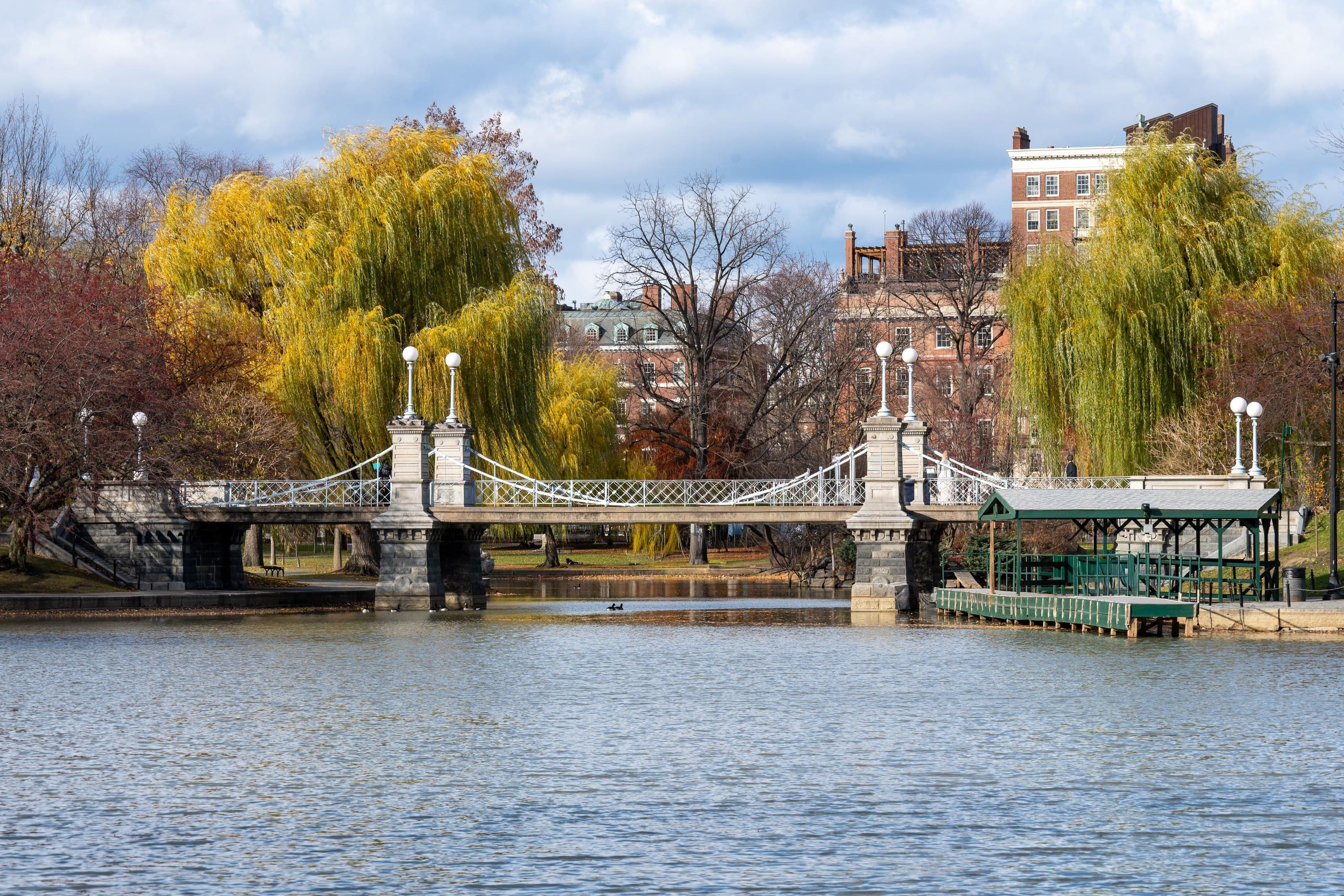
Beacon Hill and Back Bay: The Ground Boston Made
110 min · 3 km · moderate
More from Boston
Explore more at your own pace.
Best Self-Guided Walking Tours in Boston (2026)
Boston Travel Guide: How Many Days, Getting Around, When to Go (2026)
One Day in Boston: A Walkable Downtown Itinerary (2026)
Best History Walking Tours in Boston (2026)

What to Eat in Boston: A Food Guide (2026)