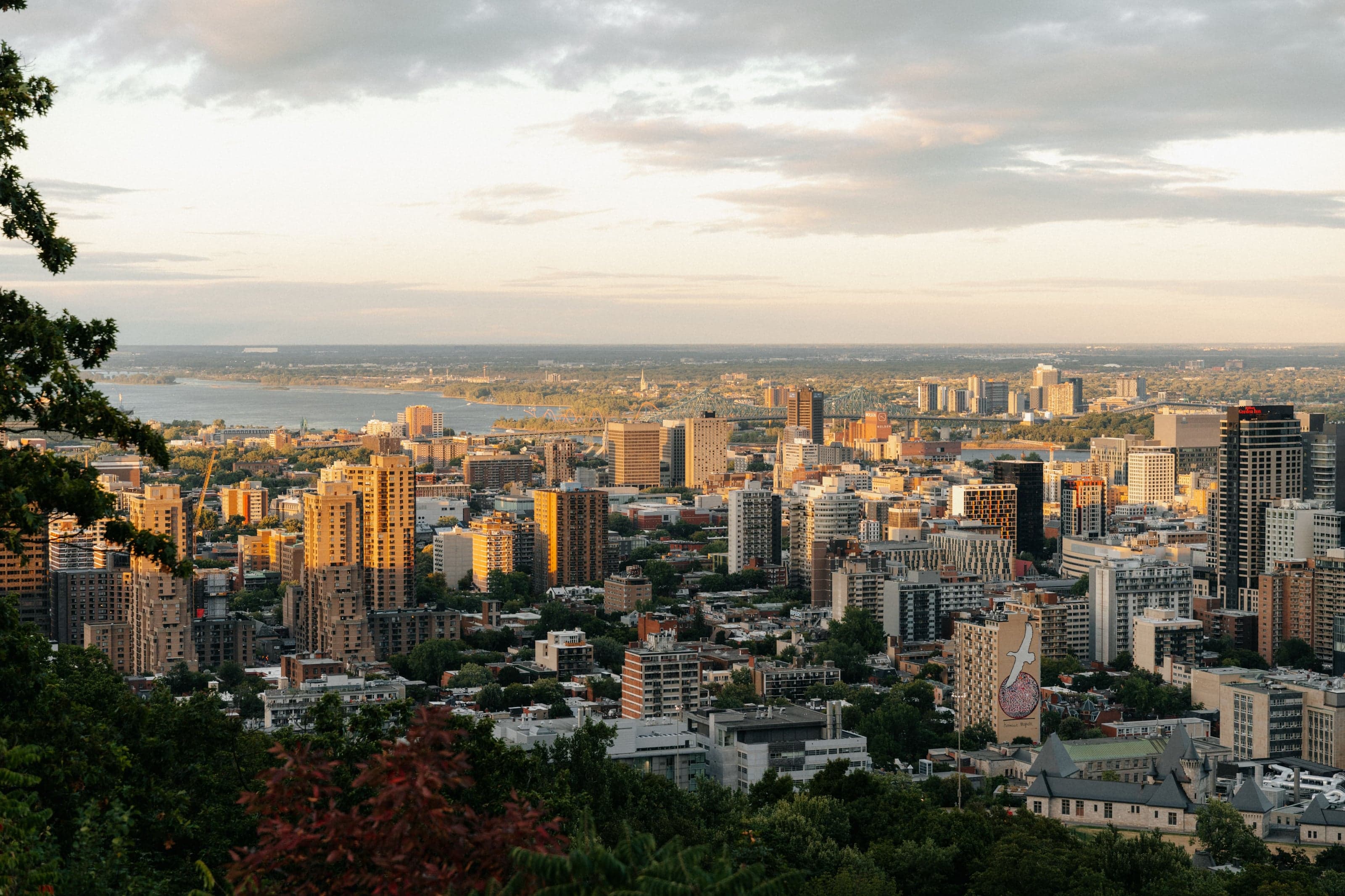
Climb Montreal's mountain the way Olmsted meant it, bend by bend: from the Cartier Monument to the summit lookouts, the steel cross, 1964 sculptures and Beaver Lake.
Start · Cartier Monument: A Map of Canada in Bronze
DirectionsStops
- 1
Cartier Monument: A Map of Canada in Bronze
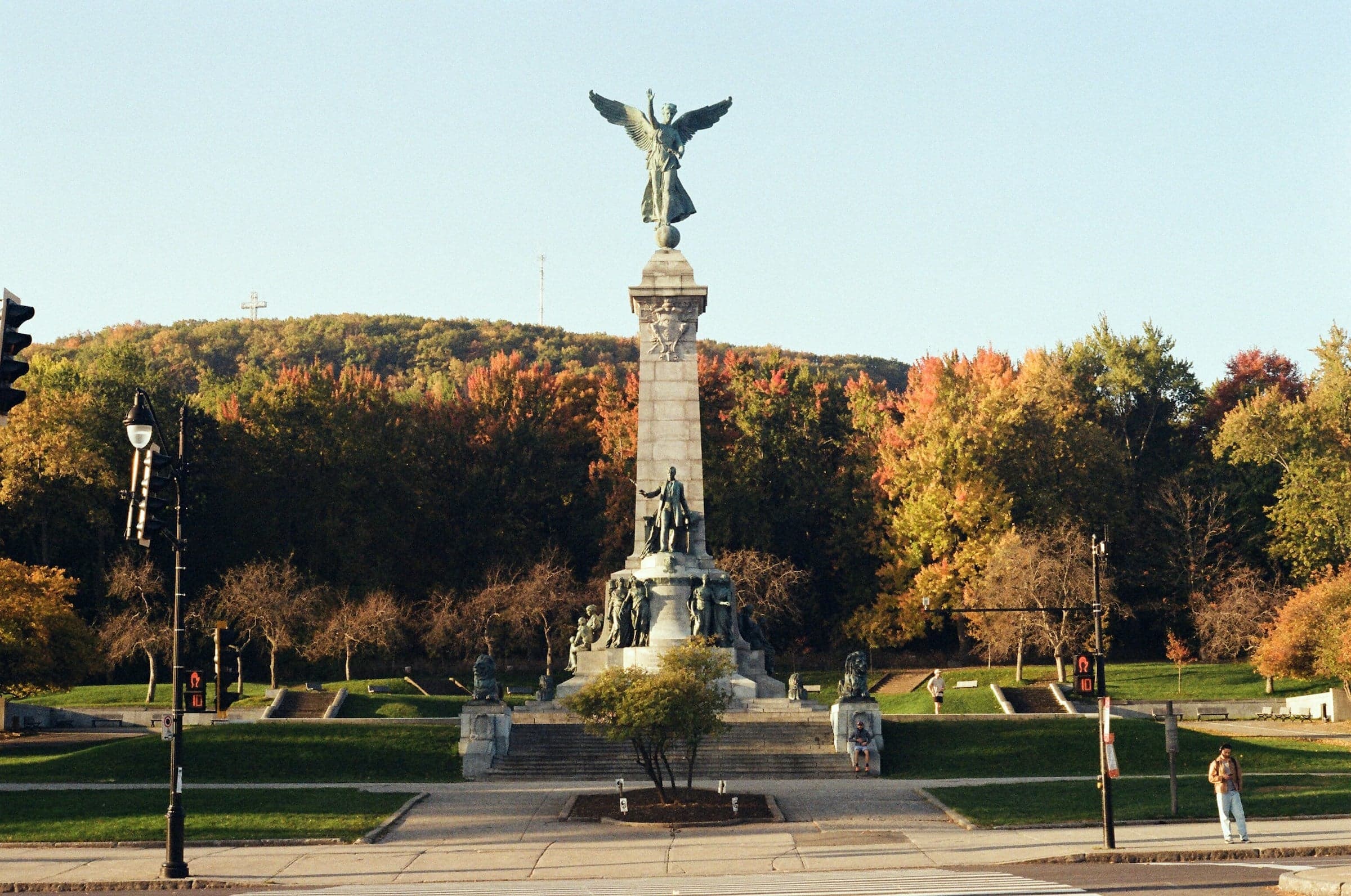
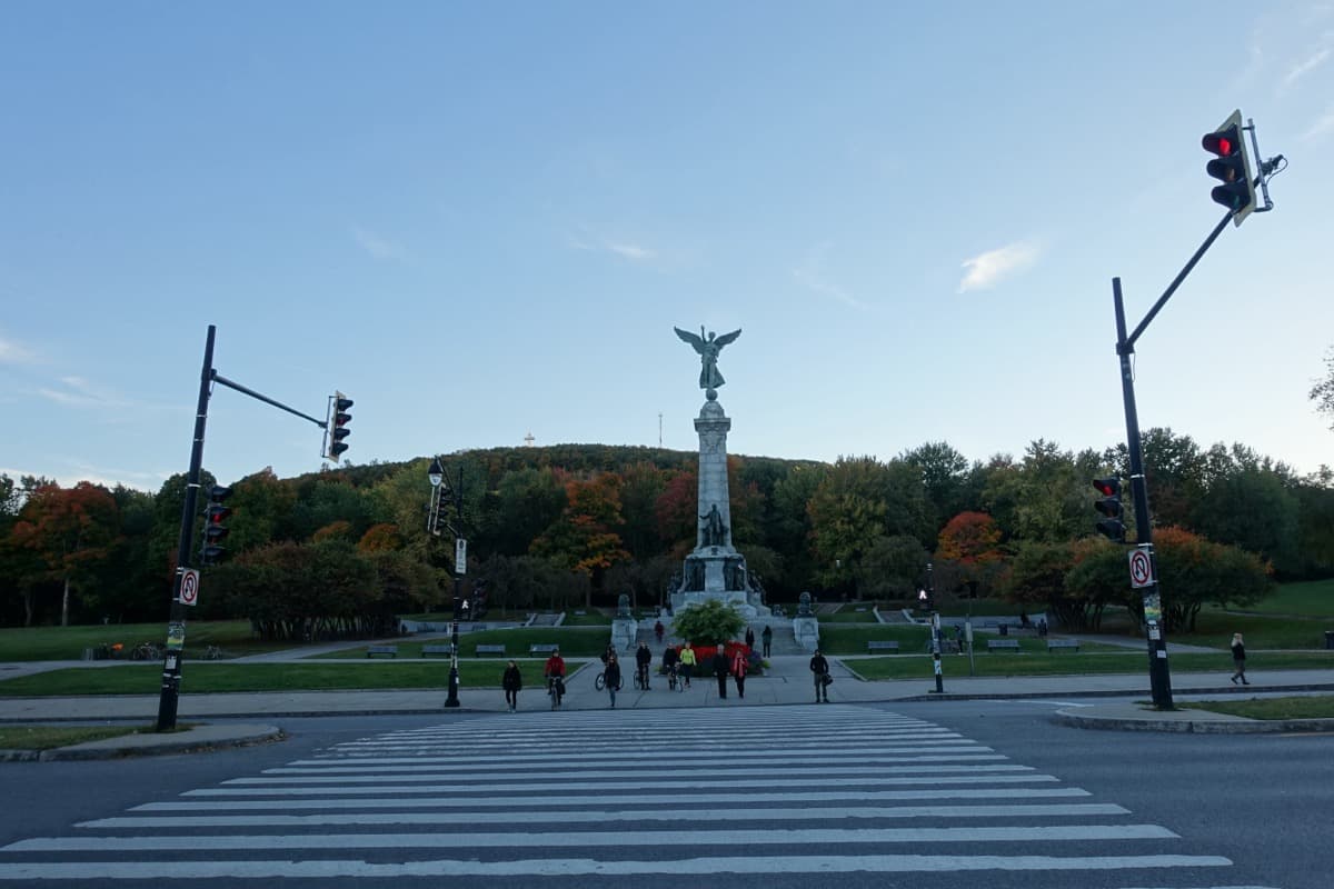
This monument turns the making of Canada into bronze figures you can walk around. A winged Fame crowns its granite column, with Cartier and the provinces around its foot.
- 2
Olmsted's Carriage Road: Why It Zigzags
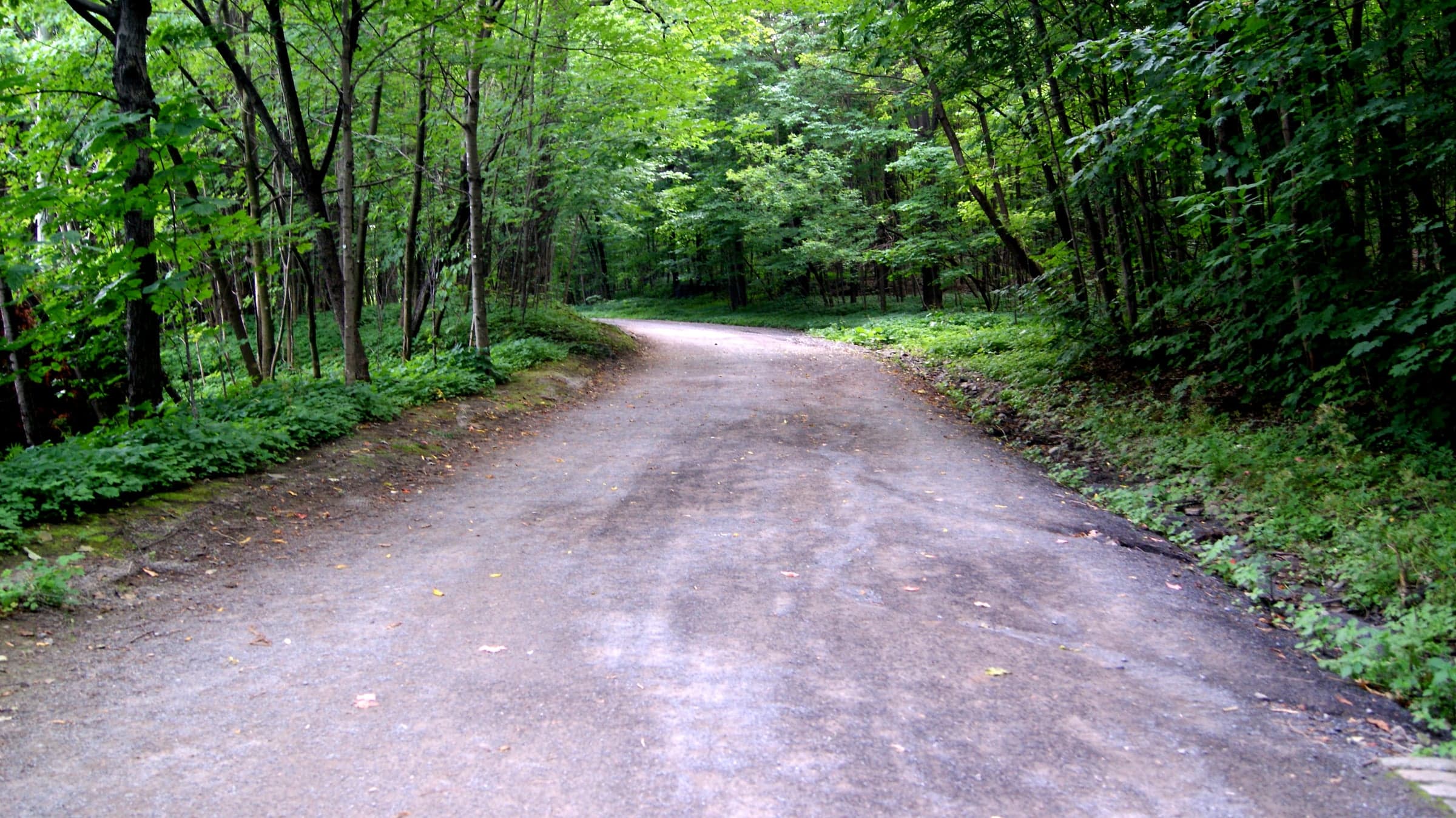
A hairpin on the carriage road shows why the park climbs so slowly. Olmsted's rule was never steeper than five per cent.
- 3
Camillien-Houde Lookout: The View a Car Road Brought
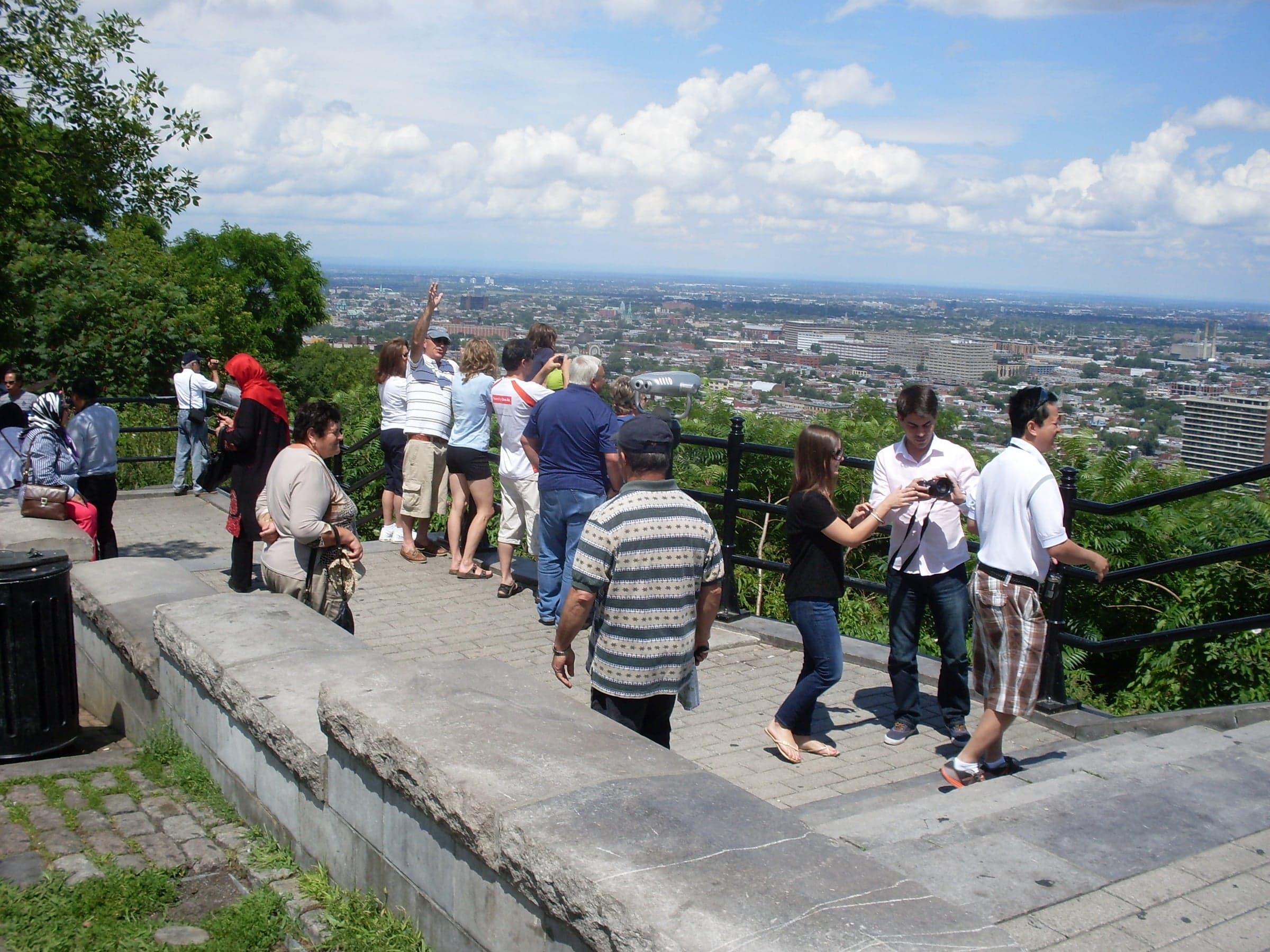
This lookout opens east over the Plateau to the Olympic Stadium. It came with the 1958 road that crossed the mountain.
- 4
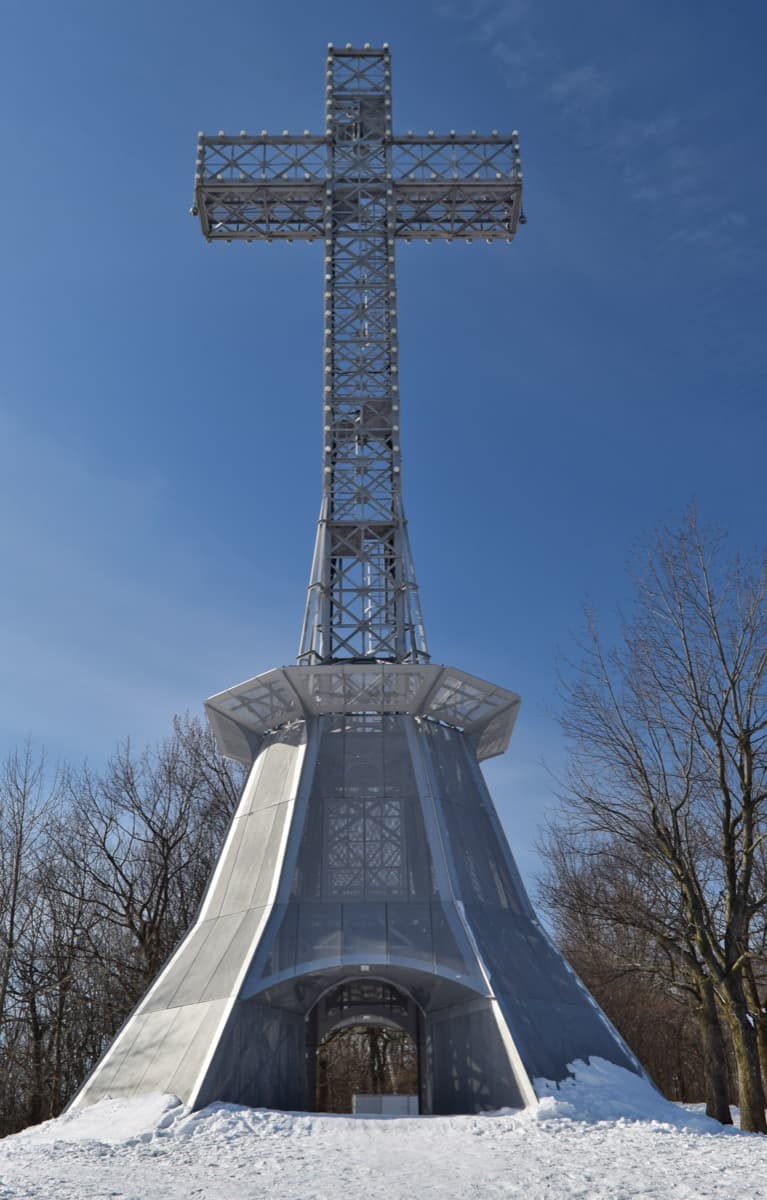
Mount Royal Cross: Riveted Steel Paid For in Nickels
A thirty-metre cross of riveted steel stands on the summit's east edge. Schoolchildren raised the money selling five-cent stamps.
- 5
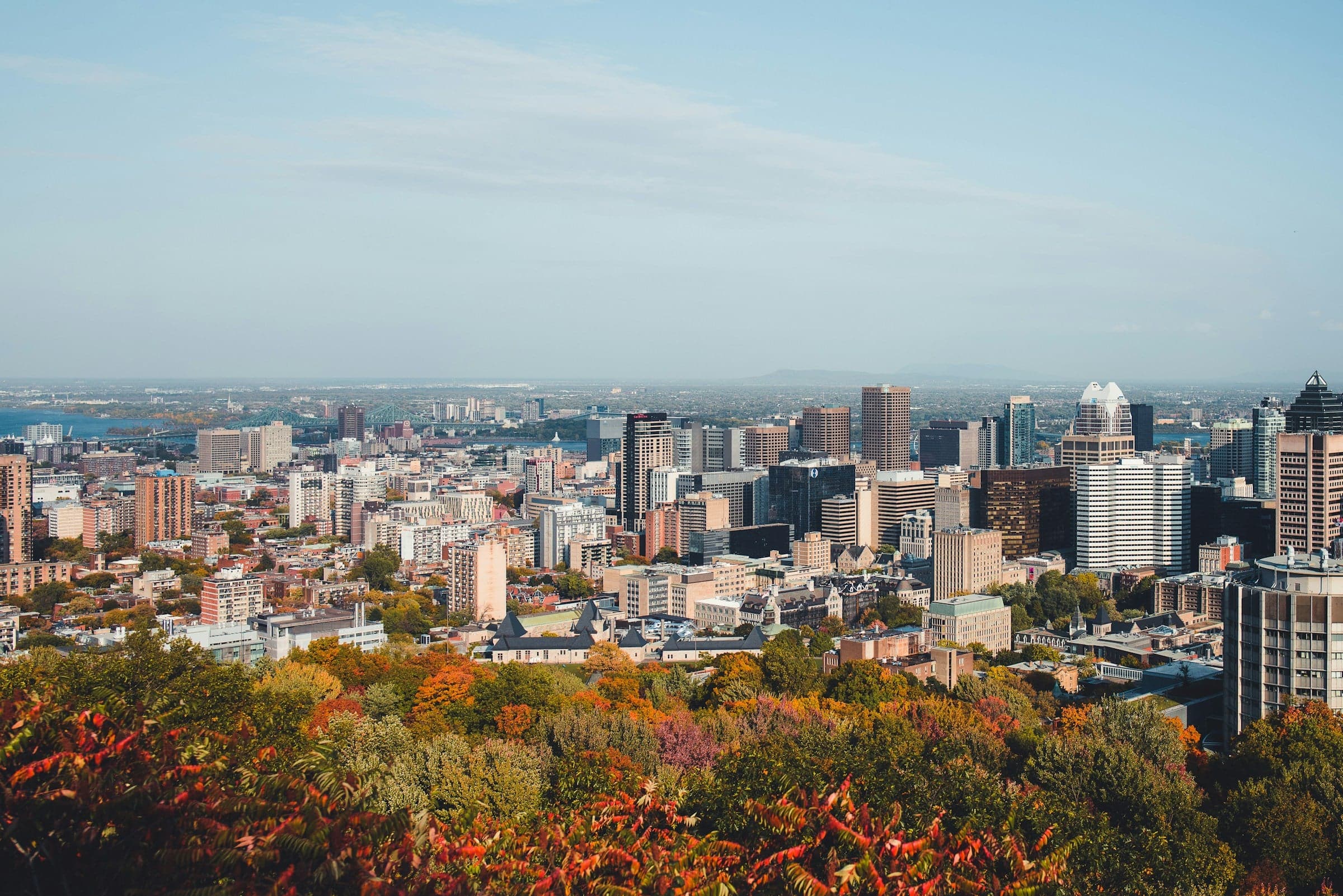
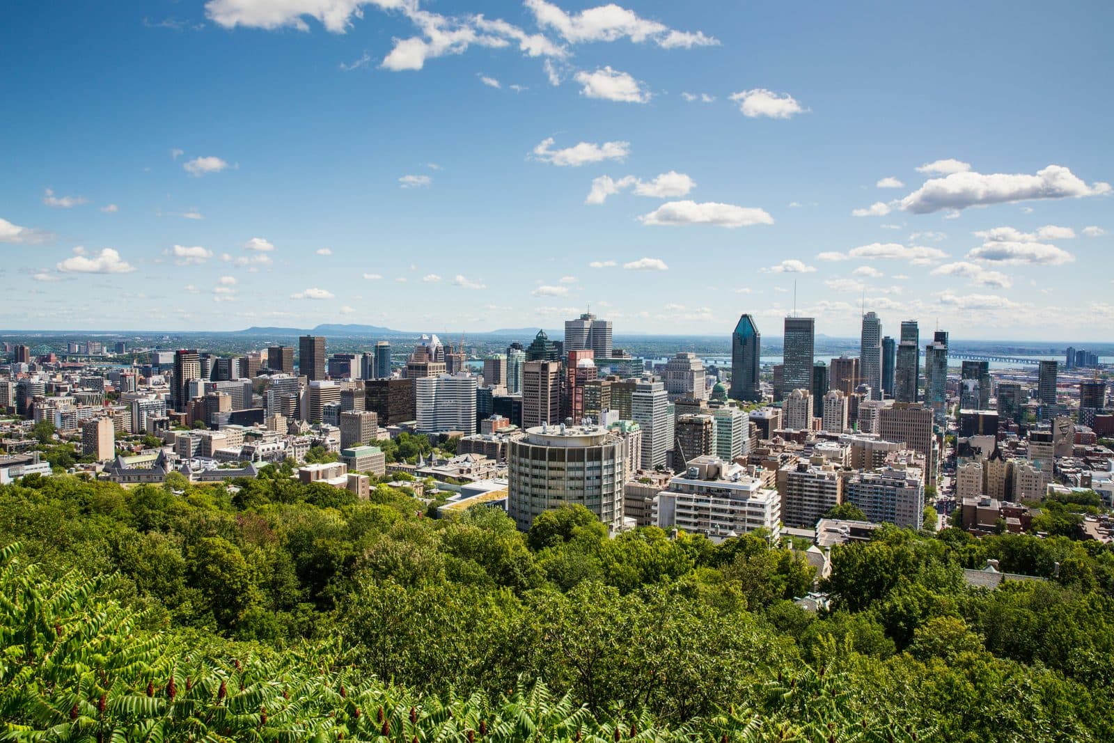
Kondiaronk Lookout and Chalet: Downtown Below the Summit
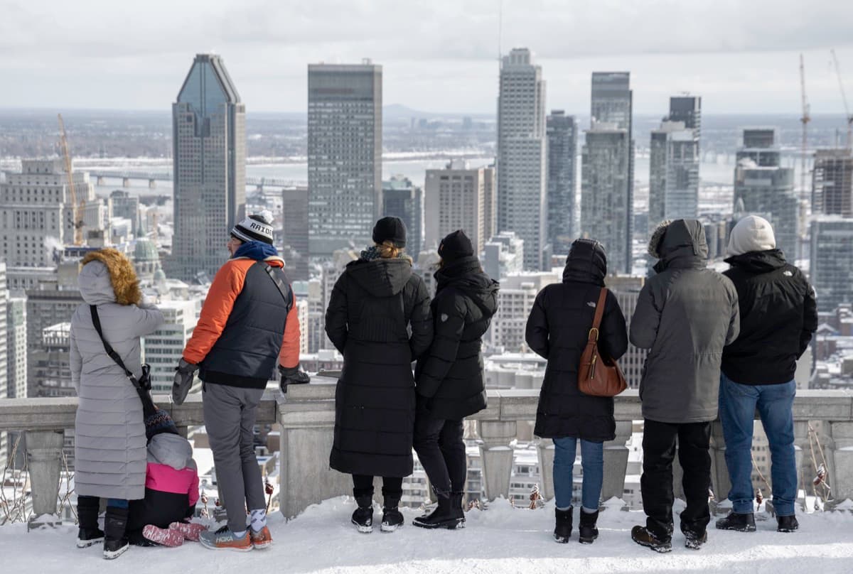
The great terrace looks straight down on downtown and the river. It is named for the Wendat chief who helped make the Great Peace of 1701.
- 6
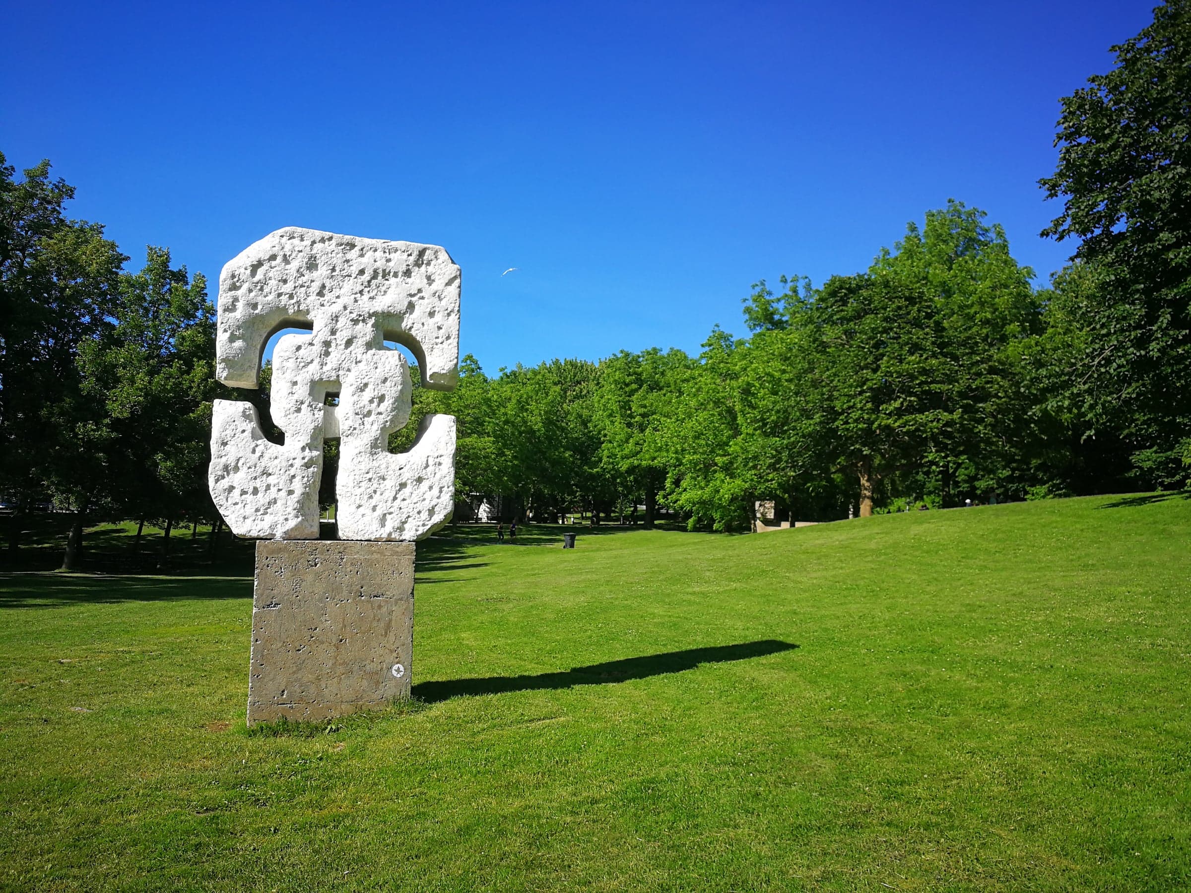
Sculpture Clearing and Smith House: Art Made on the Mountain
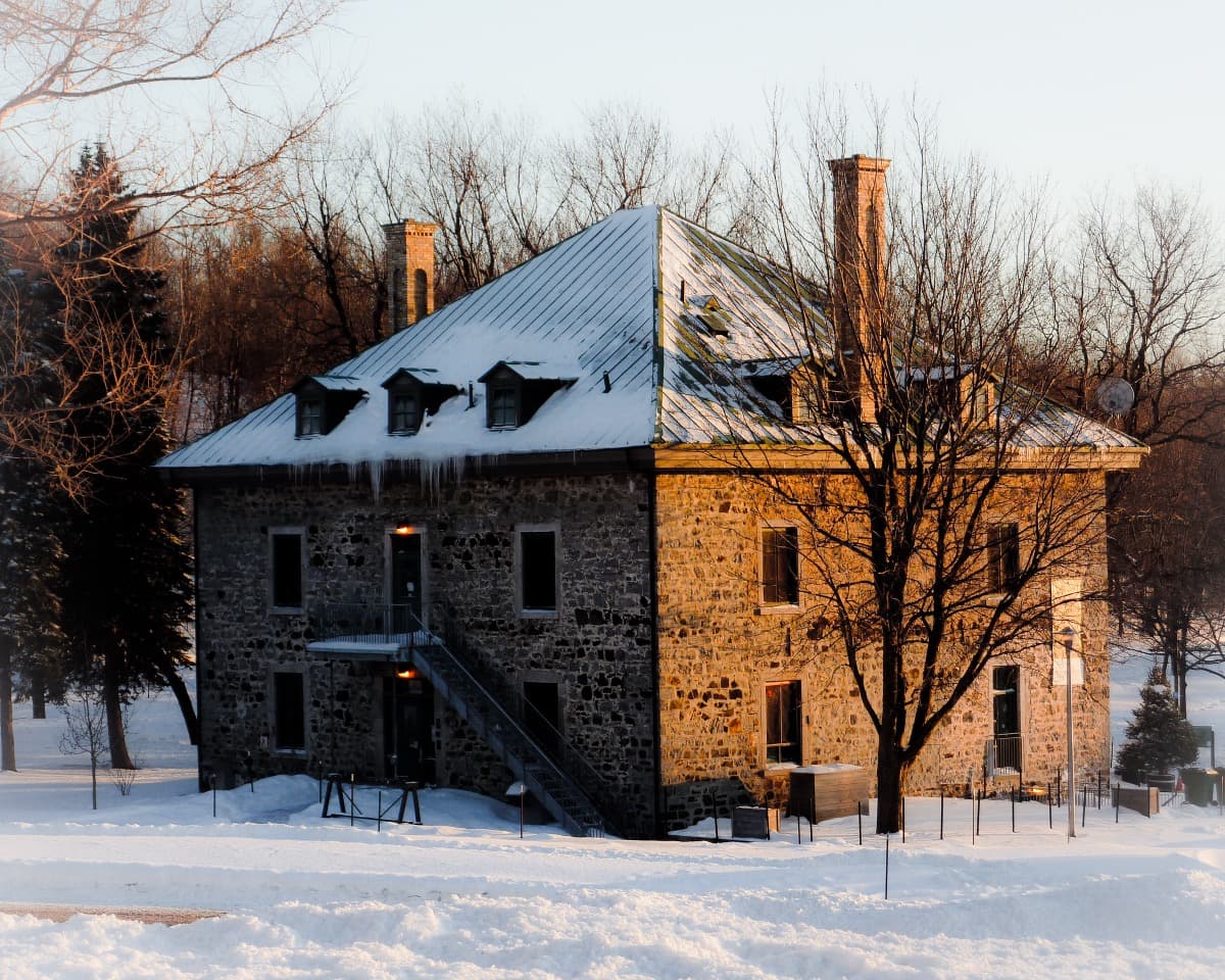
Eleven large sculptures from a 1964 open-air symposium stand in and around this clearing. Nearby is the last farmhouse on the mountain.
- 7
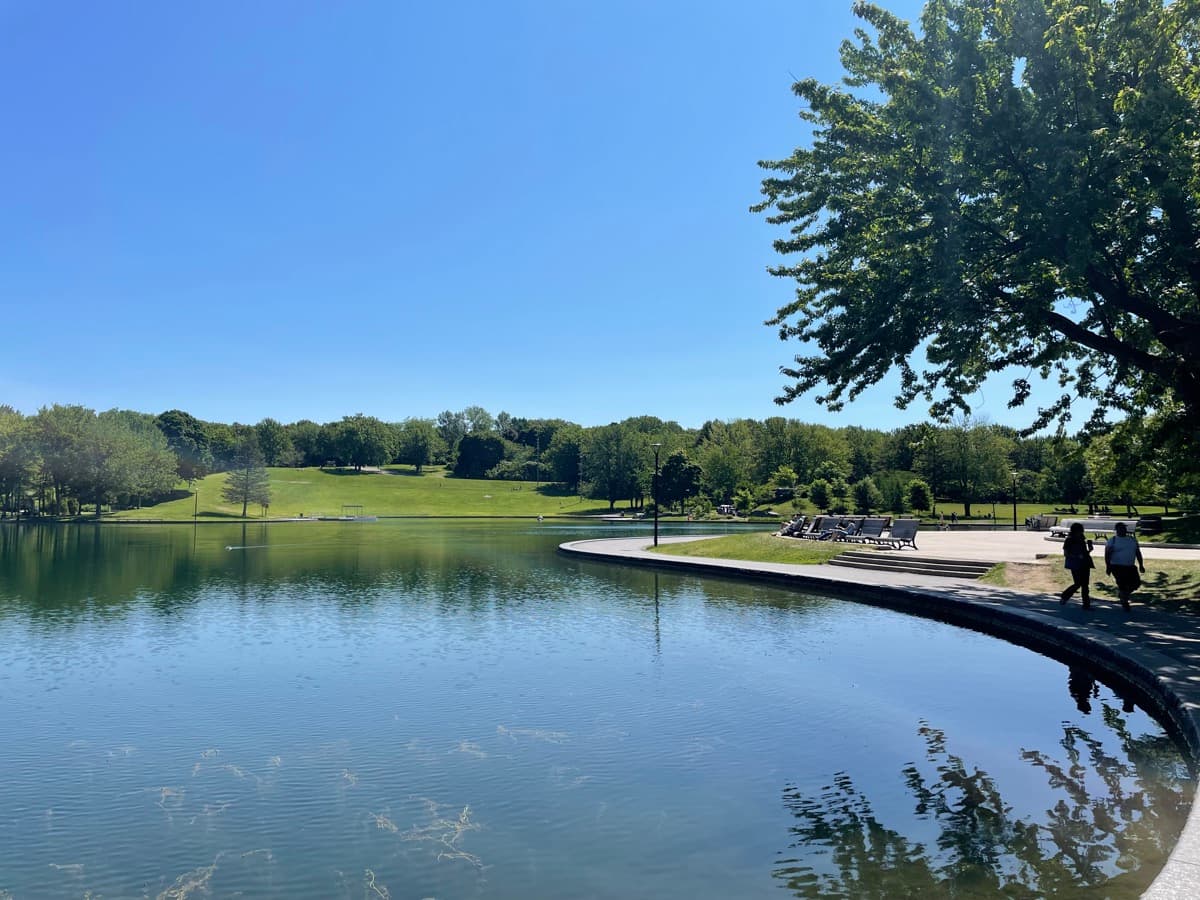
Beaver Lake: A Lake Made in the Depression
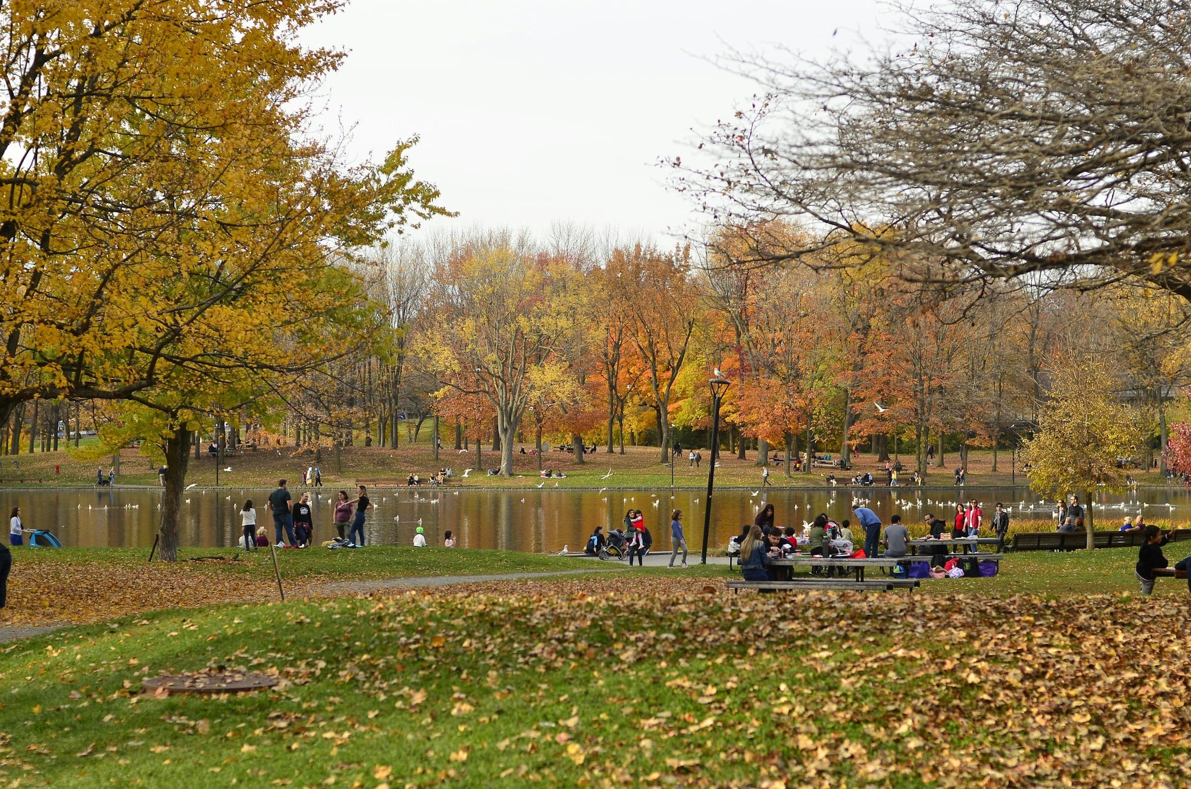
Beaver Lake is a Depression-era lake dug to Frederick Todd's design. A folded concrete pavilion of the 1950s glows on its shore.
Details
Best Time to Visit
Any clear day from late spring to autumn, when the lookouts have long views and the paths are dry. Sunday afternoons in the warmer months bring the drummers to the Cartier Monument at the start. In winter the walk is still possible on packed snow, with ice grips.
Pro Tips
- •Short on time? From the Kondiaronk lookout (stop 5), about 630 m of stairs and paths lead down to Avenue des Pins at Rue Peel, dropping about 100 m; downtown and Peel metro are a short walk further down Peel Street. You skip the sculpture clearing and Beaver Lake.
- •The Chalet du Mont-Royal is free to enter and open daily 8:00 to 20:00, with toilets until 19:30 and a café inside (checked 30 September 2026). There are no toilets between the start and the chalet.
- •The Beaver Lake pavilion is open 8:30 to 21:00 (to 22:00 on Friday and Saturday), with toilets and a snack bar (checked 30 September 2026). STM bus 11 is listed as stopping at Lac aux Castors, a short walk west of the lake, and running to Mont-Royal metro; confirm the route on stm.info before you rely on it.
- •In winter the city grooms the mountain for walking, skiing and snowshoeing, but the stairs and the carriage road are packed snow and ice: wear boots with grip, or strap-on ice cleats, and allow extra time.
Safety & Precautions
- •In winter the stairs on the east face and the Peel stairs are icy; ice grips are strongly recommended, and the climb takes longer.
- •Between the monument and stop two the route climbs earth paths and earth steps with no handrail, and the paths on to stop three are unpaved too; they are slippery after rain and in winter, so wear shoes with grip.
- •The Camillien-Houde lookout sits across a car park from a road busy with cars and fast cyclists; the route never crosses it, so stay on the terrace side of the car park.
- •At the cross, stay on the paths: the ground is uneven and the east face of the mountain falls away steeply. Do not climb the structure.
- •At the time of writing, Smith House is closed for works until spring 2027, with no toilets, café or exhibition; use the chalet or the Beaver Lake pavilion (checked 30 September 2026).
- •The carriage road is shared with runners and cyclists; keep to the side.
- •The City has announced a redesign of the Voie Camillien-Houde and its lookout, with works expected in 2027 and 2028; the lookout may change or be fenced off during works (checked 30 September 2026).
Travel advisory: Exercise Normal Precautions (Level 1).
Gallery
Related Reading
Go deeper on what you'll see, hear, and walk through.
Overview
Best Self-Guided Walking Tours in Montreal (2026)
3 min
Overview
Montreal Travel Guide: How Many Days, Getting Around, When to Go (2026)
5 min
Overview
One Day in Montreal: A Walkable Itinerary (2026)
5 min
Thematic
The Future That Bankrupted the City: Reading Montreal's Olympic Park
4 min
Thematic
The Underground City Nobody Planned: How Montreal's RÉSO Grew
4 min
Thematic
Two Cities on One Island: How to Read Montreal Along the Main
5 min
Companion
The City with a Ceiling: A Companion to the Mount Royal Walk
5 min
Read the walk
The full story of Mount Royal: Lookouts, the Cross and Beaver Lake, in words. Prefer to listen? Play it narrated, from home or on location.
Introduction
Montreal, in Canada, has a mountain in the middle of the city, and this walk climbs it. In eighteen seventy-four the city hired the landscape designer Frederick Law Olmsted to turn it into a park, and the park opened in eighteen seventy-six. His idea was simple and stubborn: nobody should reach the top in a rush. The views should arrive one at a time, bend by bend.
Over seven stops, a little under three and a half kilometres and about an hour and a half, this walk goes from a bronze monument at the foot of the mountain, up a steady climb by footpaths, steps and a stretch of his carriage road, to the lookouts at the top: one over the east of the city, one over downtown and the river. Then it drifts down past a clearing full of sculptures to a lake, with buses a short walk away.
On the way, watch how the mountain was shaped for climbing: the bends in the road, the flights of steps, the places where the trees open for a view. And notice who did the digging. More than once, this park was built in hard times, by people who badly needed the work.
There are toilets at the chalet near the top, at stop five, and at the lake at the end, and nothing before that, so plan ahead.
1. Cartier Monument: A Map of Canada in Bronze
Welcome to Mount Royal Park. You are already in it. The park begins here, on this wide lawn beside Avenue du Parc, and the wooded slope rising behind the monument is the mountain itself.
Stand at the foot of the steps, on the side that faces the avenue, and look up. The whole monument rises about thirty metres, most of it a tall grey granite column. At the very top stands Fame, a winged bronze woman with one foot on a globe, holding a laurel crown over the man below. That man, in a long coat, is George-Étienne Cartier.
Now find the paper in his hand. It carries a line of his, in French: Avant tout, soyons Canadiens. Above all, let us be Canadians. Read the rest of the monument with that sentence in mind.
There are eighteen bronze figures here in all. The groups on either side of him stand for the four provinces that came together at Confederation, in eighteen sixty-seven. Walk round to the back and you find a kneeling soldier holding a flag, and five women: the provinces that joined later. Four bronze lions lie at the corners, guarding the stairs. It is a map of the country you can walk around.
The foundation stone went down in nineteen twelve, and the monument was unveiled in September nineteen nineteen, after the war. It was paid for by public subscription.
The lawn has its own stories. From eighteen seventy-four to eighteen ninety-six this lawn, Fletcher's Field, held the city's first golf course. And on Sundays in the warmer months, since the late nineteen seventies, drummers and dancers have gathered around this monument, with nobody in charge.
Olmsted's carriage road begins right here, at the foot of these steps. Like the walkers he planned for, you will leave it almost at once, climb by footpaths and steps, and meet his road again higher up.
Follow the route. Next, a bend in that road, and the reason it bends.
2. Olmsted's Carriage Road: Why It Zigzags
Walk on to the bend where the wide gravel road doubles back on itself, and stop on the road there. This is Olmsted's carriage road. You came up past it by footpaths and steps, and that was his plan too: walkers on stairs and paths, carriages on the road.
Now look at its shape. The road runs one way across the slope, turns sharply, and comes back the other way. Why not straight up? Because of a horse. Olmsted set a rule for this drive: never steeper than five per cent. That is five metres of height for every hundred metres forward, a slope a horse pulling a carriage can walk up steadily. Compare Peel Street, on the downtown side, which he put at one in seven, nearly three times as steep.
The east face of the mountain is steep, so a gentle road has to zigzag to gain height. From the monument all the way round to Beaver Lake, this road rises only about a hundred metres in three and a half kilometres.
He wanted the slow climb for the view as well. The great views, he wrote, should come one after another, each one reached gradually, the mind "gradually and sweetly led up." The bends ration the view.
The lower part of this road was dug in the winter of eighteen seventy-five to seventy-six, before the park had even opened, as work for men left jobless by the financial panic of eighteen seventy-three. It was built without consulting Olmsted's plans. It gave him the gentle slope he wanted, and he still complained about its raw, artificial cuttings and banks.
The road is shared with runners and cyclists, so keep to the side.
Follow the route. It keeps to the road for a moment, then takes footpaths along the slope to a lookout over the east of the city.
3. Camillien-Houde Lookout: The View a Car Road Brought
Walk on to the lookout and face the open view, out over the roofs. This is the Camillien-Houde lookout, free and open to everyone.
Below you spreads the Plateau: a flat grid of roofs, with church steeples rising out of it. Now search the far skyline for a tall concrete tower leaning out over a low, rounded building. That is the mast of the Olympic Stadium, about six kilometres away. And on a clear day, further round where the land meets the river, you may pick out the steel of the Jacques Cartier Bridge crossing the Saint Lawrence.
Now look the other way, across the car park, to the road. That road is the reason this lookout exists. In nineteen fifty-seven the city started building a road right across the mountain, with a lookout designed into the project, and it opened in the summer of nineteen fifty-eight. It follows the line of an old streetcar route, the number eleven tram, which had carried people into the park since nineteen thirty. The road was named for a former mayor, Camillien Houde, in the year he died.
The city's own history of the park says it plainly: people criticised the road, because it broke with the idea behind the whole park, reaching the summit slowly. You just came up the slow way. Here is the fast one.
The nineteen fifties changed the woods too. In nineteen fifty-four the city cleared shrubs and thickets across the park, to stop what it called undesirable behaviour. People nicknamed the mountain Mount Baldy. In the nineteen sixties the city had to replant, to hold the soil, so much of the undergrowth around you grew back after that.
The road is busy with cars and fast cyclists, so stay on the terrace side of the car park.
Follow the route. It climbs the wooden steps at the far end of the terrace, and on up to the cross.
4. Mount Royal Cross: Riveted Steel Paid For in Nickels
Walk on to the foot of the great steel cross and stop beneath it. This is the Mount Royal Cross, about thirty metres tall, with arms about ten metres across. It is free, and since its restoration you are allowed to walk right in under it. Look up into the structure. It is a…
Full narration for this stop unlocks with the tour.
5. Kondiaronk Lookout and Chalet: Downtown Below the Summit
Walk on to the wide stone terrace, with the long stone chalet at your back, and go to the stone balustrade at its edge. This is the Kondiaronk lookout, free and open to everyone. Look out. Downtown's towers stand in front of you, and beyond them the river. Now notice their…
Full narration for this stop unlocks with the tour.
6. Sculpture Clearing and Smith House: Art Made on the Mountain
Walk on into the open lawn among the tall trees, and stop where you can see the big sculptures. In the summer of nineteen sixty-four, twelve sculptors from nine countries worked here in the open air for about eight weeks. The city calls it the first event of its kind in North…
Full narration for this stop unlocks with the tour.
7. Beaver Lake: A Lake Made in the Depression
Walk on to the edge of the water and stop on the path along the shore. This is Beaver Lake, and it is not natural. It was dug between nineteen thirty-six and nineteen thirty-eight, to the plans of the landscape architect Frederick Todd, as public work during the Depression. The…
Full narration for this stop unlocks with the tour.